The term “Alborz Mountains” has been loosely used in reference to all of the mountains of northern Iran, from the Turkish border to the northwest, to the border with Afghanistan to the northeast (a distance of more than 1500 km). The Alborz Mountains gain their maximum height and density along the southern shores of the Caspian Sea where they create a formidable barrier that separates the coastal plains from the internal plateau of Iran. Close proximity to the Caspian coast has created a steamy lush environment on the coastal plains and the northern-most slopes of the mountains. In some places (near the coastal towns of Ramsar and Noshahr), the strip of land between the mountains and the sea is no more than one kilometer wide.
The southern slopes of the Alborz drop onto the central plateau of Iran. The average elevation of this plateau at the base of the mountains is around 1500 m (Please be aware that the plateau itself is covered by other scattered mountains. In fact, there are few places in Iran where mountains can not be seen on the horizon).
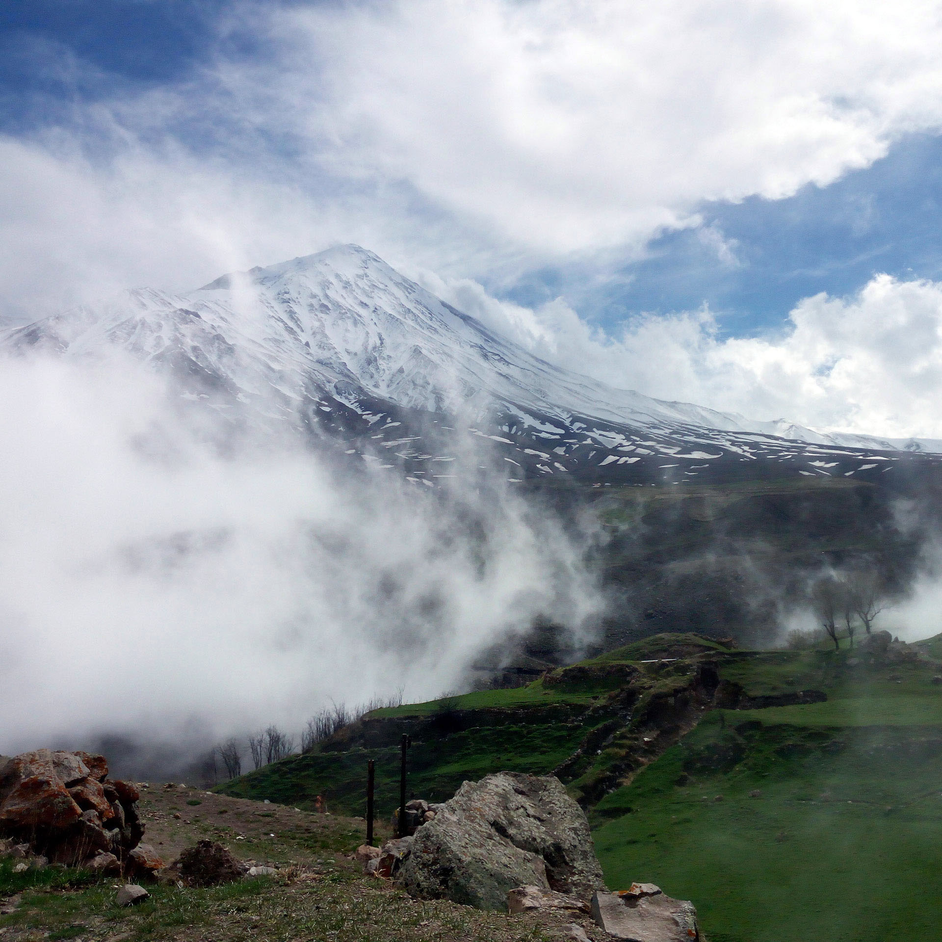
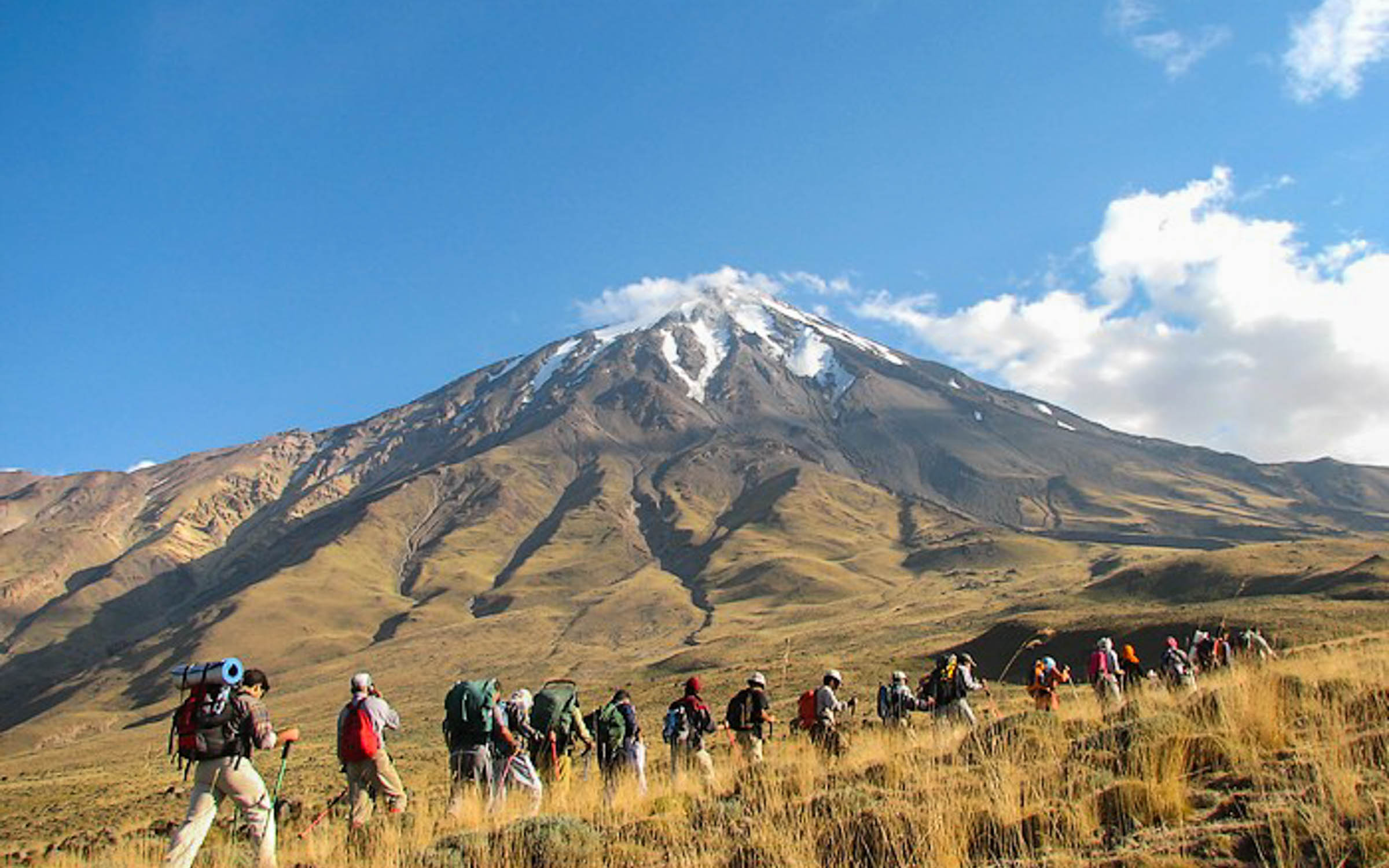
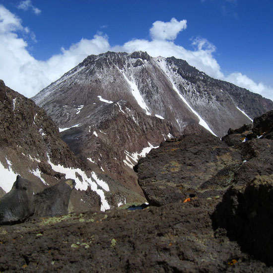
In contrast to the lush northern slopes, the southern slopes of the Alborz Mountains are barren. Trees can be found only on stream banks at the bottom of the valleys. Grasslands, alpine tundra, and permanent snow cover the higher slopes of the Alborz. Evidence suggests that in the past, glaciers used to cover a much larger area of the Alborz Mountains than they do today. At the present time, glaciers can be found on Mt. Damavand, Takhte Soleyman Massif, Mt. Sabalan, and to a much lesser extent on some of the higher peaks of the range.
Winter brings a heavy coat of powdery snow that creates an ideal environment for skiing. The abundance of snow gives rise to fairly large mountain streams that provide fresh water for the nearby cities including the 10 million-plus mega-city of Tehran. When viewed from space, some of these streams appear to have dug deep gorges that penetrate into the heart of the mountains. The distance between the 5671 m Mt. Damavand and the bottom of the Haraz Valley to the northeast of it where the elevation is only 1000 m is no more than 17 kilometers.
TEHRAN AND THE ALBORZ MOUNTAINS
The capital city of Tehran sits on a plain at the foot of the Alborz Mountains. The 3964 m Mt Tochal creates a dramatic background for Tehran’s skyline.
PEAKS HIGHER THAN 4000 METERS
Peaks higher than 4000 meters can be found in two areas in the Alborz Mountains (Please note that this discussion excludes the Zagros Mountains of western/southern Iran that also have many groups of peaks higher than 4000 m):
1) A few peaks around the 4811 m summit of Mt. Sabalan in northwestern Iran
2) Depending on how you count them, around one hundred in Central Alborz
CENTRAL ALBORZ OVERVIEW
The boundaries of Central Alborz can be defined as follows (300 km E-W by 90 km N-S. See Signature Photo):
-South of the Caspian Sea
-North of the Capital city of Tehran and vicinity
-East of the Coastal town of Rasht
-West of the coastal town of Sari
Much of Central Alborz consists of very long parallel ridgelines that generally run east-west (parallel to the coast of the Caspian Sea). Deep valleys divide these ridgelines into distinct “groups”. Defining individual peaks along the length of these ridgelines that might be many tens of kilometers long and entirely above 3500 or 4000 m, can be arbitrary. Except for the prominent peaks, it appears that traditionally names have been used in reference to whole groups of peaks rather than individual ones.
While many peaks remain nameless, others might be known by different names. The most accurate maps of the Alborz Mountains are those with a scale of 1:50 000 (see below). These maps provide exact elevations for hundreds of peaks/high points on each sheet but they leave most peaks without a name. It seems that the climbing community in Iran has recently started to publish maps that identify individual peaks and provide them with names (that will hopefully standardize). I am not aware of the criteria used for identifying these “Peaks” but looking at the 1:50 000 maps reveals that most of these peaks are at least 50 m higher than their surrounding saddles (most are much more than that).


