Damavand hiking trip
Damavand hiking trip

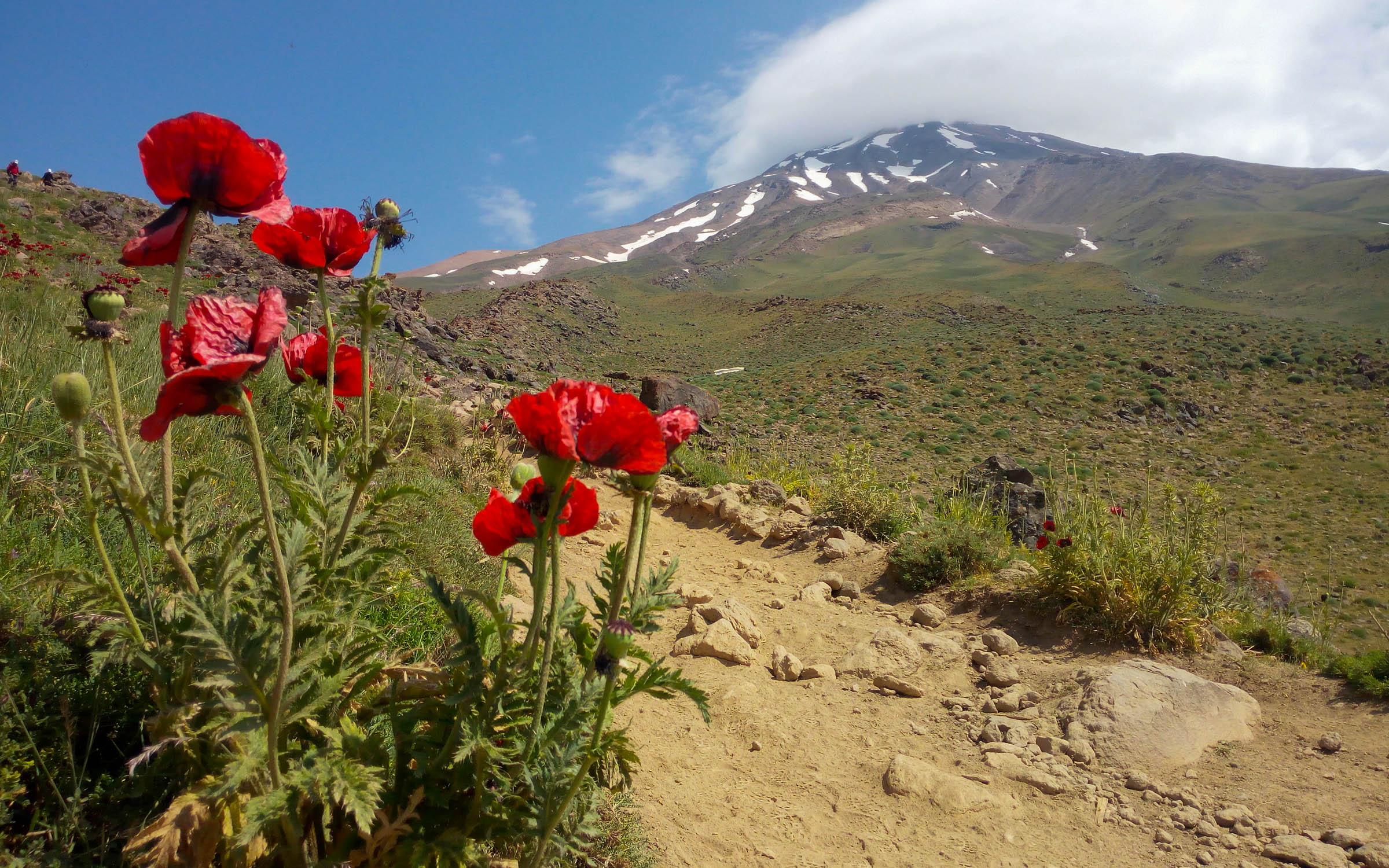
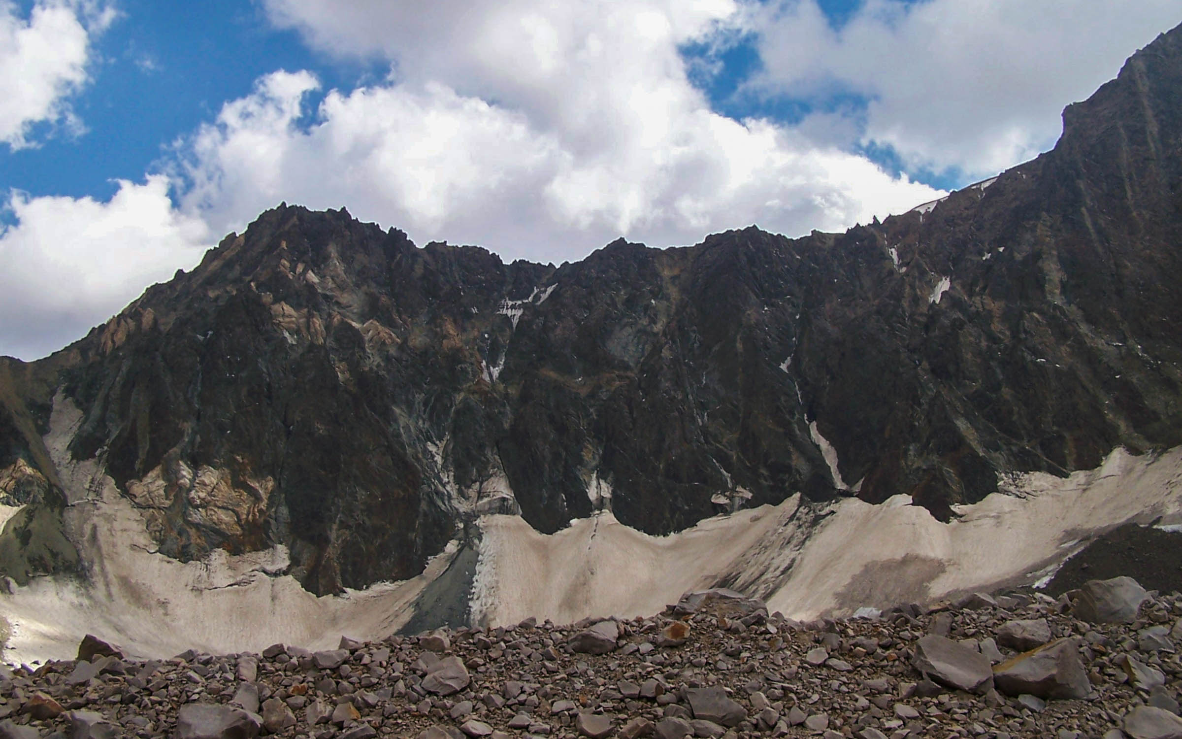
Many springs and rivers are flowing through this mount. The most striking ones are Tineh River in North, Lar and Div Asiab Rivers in West, Haraz River in South and Panj Ab in Eastern side of the mount. There’s a unique frozen waterfall in the south of Damavand and we called Abshar Yakhi in Persian. It means icefall and the ice never melts. So The waterfall is around 12 meters tall with 3 meter diameter. The elevation of 5100 meters has made it the highest waterfall in the Middle East. Unfortunately, the glorious nature of Damavand is threatened by excessive grazing and road instruction. In springs, the mount foothills will be covered by anemones and the birds’ songs can be heard.
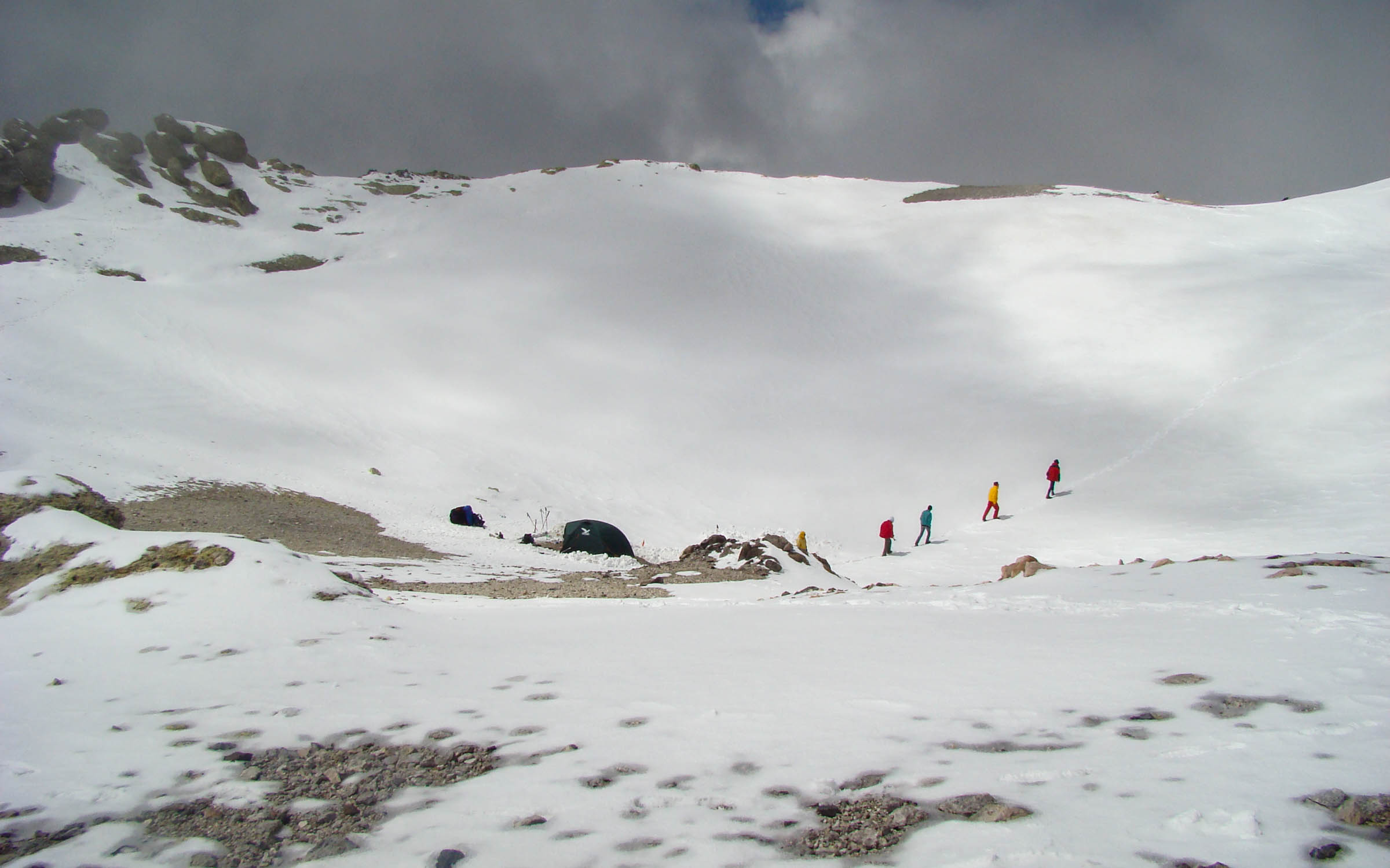
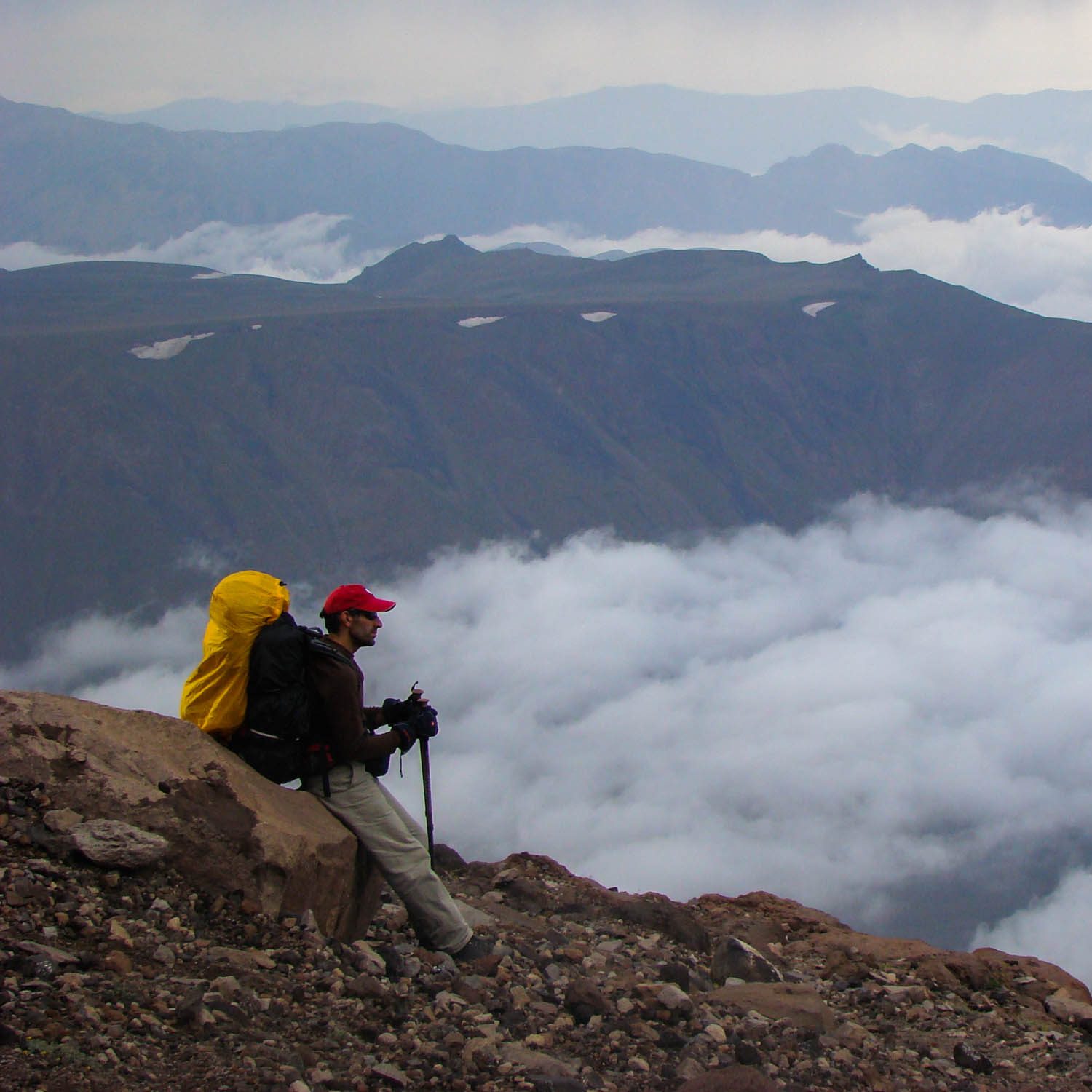
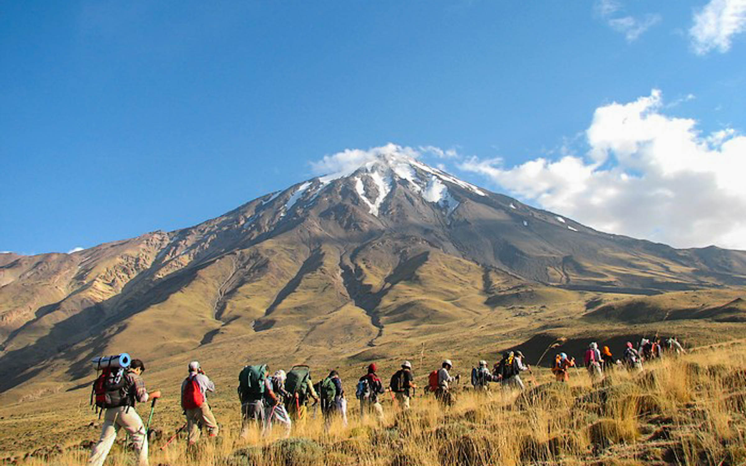
There are four main routes to climb Damavand Peak includes North, East North, West and South Routes. Among these, the easiest way is going through Southern side, where the icefall located on the way, The toughest one is Northern route. Except the West Route, rest have shelters on the way as being located near villages.
Beside being the highest mount in Iran and the Middle East, Mount Damavand has a very high position in Persian mythology. It’s the symbol of strength and freedom, where goodness overcome evil. Regarding to this imposing notion, there’s a national day (4th November) named of Damavand. On this day every year, People hold the celebration in Mazandaran Province, where the mount is located.
Damavand hiking
Mount Damavand a potentially active volcano, is a stratovolcano which is the highest peak in Iran and the highest volcano in Asia; the Kunlun Volcanic Group in Tibet is higher than Damāvand, but are not considered to be volcanic mountains. Damāvand has a special place in Persian mythology and folklore. It is in the middle of the Alborz range, adjacent to Varārū, Sesang, Gol-e Zard, and Mīānrūd. It is near the southern coast of the Caspian Sea, in Amol County, Mazandaran Province, 66 kilometres (41 miles) northeast of the city of Tehran.Mount Damāvand is the 12th most prominent peak in the world, and the third most prominent in Asia after Mount Everest and Puncak Jaya. It is the highest volcanic mountain in Asia, and part of the Volcanic Seven Summits mountaineering challenge.
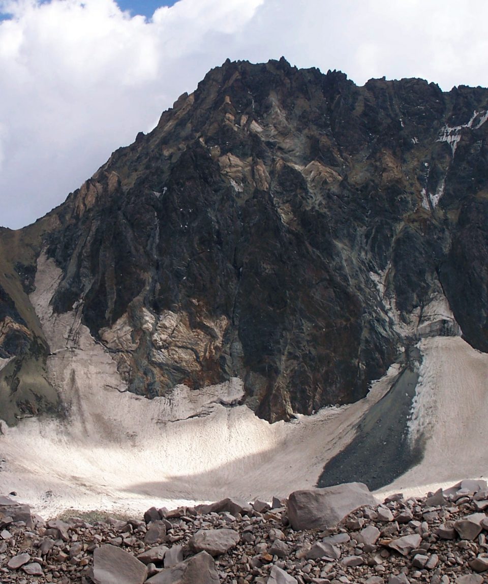
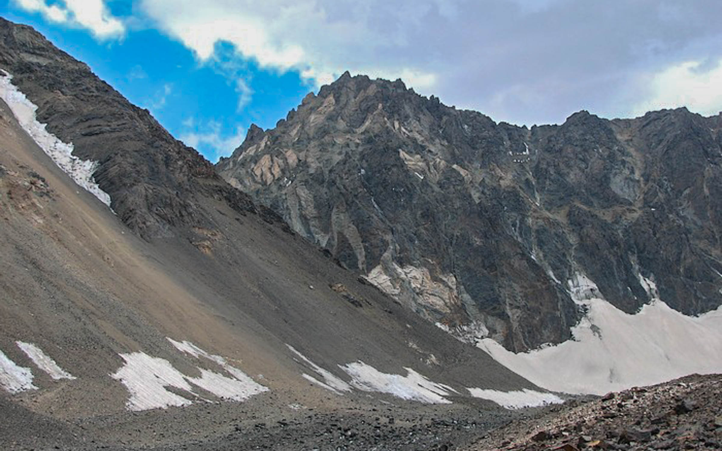
ʿAlam-Kūh – Mount Alam – is a mountain in Alborz mountain range in north of Iran, Mazandaran Province, forming a peak of Takht-e Suleyman Massif. It is located in Kelardasht Districtof Mazandaran Province of Iran. With an elevation of 4860 meters, it is the second highest peak in Iran after Mount Damavand .The first recorded ascent of the peak was made from Hesarchal over the south face by the German brothers Bornmüller during their six-month botanical exploration of the Alborz in 1902.Douglas Busk, a British mountaineer, climbed Alam-Kuh via the east ridge in 1933 and again in 1934 from over the west ridge.The 800 m high, steep granite north face provides some of the most difficult and interesting mountaineering routes in the country and the climbs rank alongside major climbing routes in the European Alps. In addition to local climbers, the north face attracts European climbing teams. The first known ascent from the north was by a German party (Gorter/Steinauer) in 1936 via the northwest ridge. Subsequently, French and Polish teams established other routes on the north face during the 1960s and 1970, these being multi-day routes of high alpine standard. A British team followed with a successful ascent in 1978. The first winter ascent of the north face was made by Mohammad Nouri in 1991.